

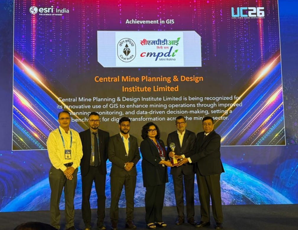
Ranchi, September 3: Central Mine Planning & Design Institute Limited (CMPDI) has received recognition at the Esri India User Conference 2026 in New Delhi for its work in applying geospatial technologies to mining, surveying and environmental management.
The recognition, announced during the conference held on September 2, highlights CMPDI’s use of Geographic Information System (GIS), satellite-based remote sensing and drone technology for various technical applications.
CMPDI has been using geospatial tools to support mine planning, surveying, boundary assessment, land-use analysis, environmental monitoring and reclamation studies. The technologies also assist in mapping settlements and evaluating changes in terrain across mining and other development areas.
The institute has undertaken drone-based studies to assess sand replenishment in riverbeds in Bihar, Uttar Pradesh and Rajasthan.
These studies involve comparing terrain data collected before and after the monsoon to determine changes in sand deposits and estimate their volume.
High-resolution satellite imagery and drone surveys are also being used by CMPDI to improve terrain assessment and settlement mapping. Images collected at different points in time help monitor the progress of land reclamation in areas affected by mining.
The recognition reflects CMPDI’s efforts to combine modern geospatial technologies with its technical expertise in mining, geology, surveying and environmental management. The institute is also developing GIS-based solutions for a range of mining and development-related applications.
Four officials from CMPDI’s Geomatics discipline attended the conference. They were Anindita Biswas, Chief Manager (Geology), Tanmoy Pramanik, Manager (Geology), Subhomoy Sinha, Deputy Manager (Survey), and Swabhiman Daheria, Deputy Manager (Mining).
The recognition is expected to further highlight the role of advanced mapping, remote sensing and drone-based technologies in improving scientific decision-making in the mining and environmental sectors.
